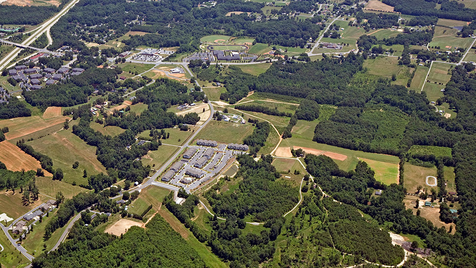
Kernersville Zoning Map

App Name:
Kernersville Zoning Map
Data Last Updated:
June 1st 2020
Content Summary:
Official Zoning Map of the Town of Kernersville
Data by:
Town of Kernersville Community Development Department
Contact:
gis@toknc.com
Launch GIS App
Types of information on this map
- Zoning – Shows the boundary area for each different type of zone.
- Streets – Shows which streets are within each boundary area.
Steps to verify your zoning district
- Type in your street address in the “Find address or place” box in the upper left hand corner (ex: 134 E. Mountain St)
- Verify you are at the correct location by clicking on the dark gray building footprint. An information box will appear with the building address.
- Verify the zoning district by clicking on the colored background around the building. An information box will appear with your zoning district (ex: HB, LI, RS12, etc.). Different colors represent different zoning districts.