Fire Department Map
App Name:
Fire Department Map
Data Last Updated:
February 9th 2026
Content Summary:
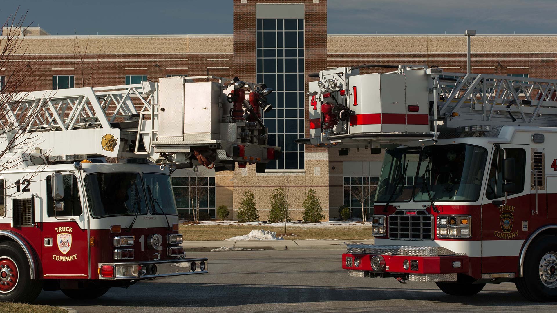
Map of the Town of Kernersville's fire fighting infrastructure.
Data by:
Town of Kernersville Community Development Department, Town of Kernersville Fire Rescue Department
Launch GIS App
Types of information on this map
- Fire Stations – Location of each fire station.
- Hydrants – Location and condition of each fire hydrant (including make and hose type).
- Building Type – Shows which buildings are residential and non-residential with included building footprints.
- Fire Demand Zones – Shows the borders for each Fire demand zone (click relevant area to find inspection zones).
- Inspection Zones – Shows the specific inspection zone that location is in when clicking for more information on the map.