Kernersville Maps and Apps
Kernersville’s GIS Gallery features a suite of web and mobile-friendly apps for citizens and business users, and is the place where you can find maps and apps that increase transparency and help you interact with local government. The maps and apps are organized around community services and the information you need to do business with the Town of Kernersville on a regular basis.

Collection Schedule
Find out when trash and recycling is collected in your neighborhood.

Crime Mapping
View Kernersville's crime data in RAIDS online

Fire Department Map
Map of the Town of Kernersville's fire fighting infrastructure.

Kernersville Municipal Limits
Official limits of the Town of Kernersville
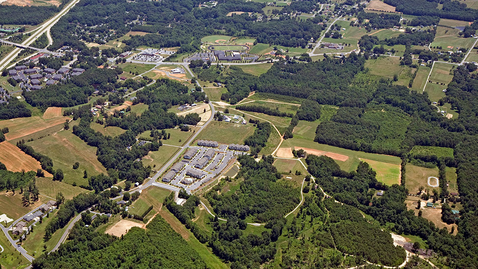
Kernersville Zoning Map
Official Zoning Map of the Town of Kernersville
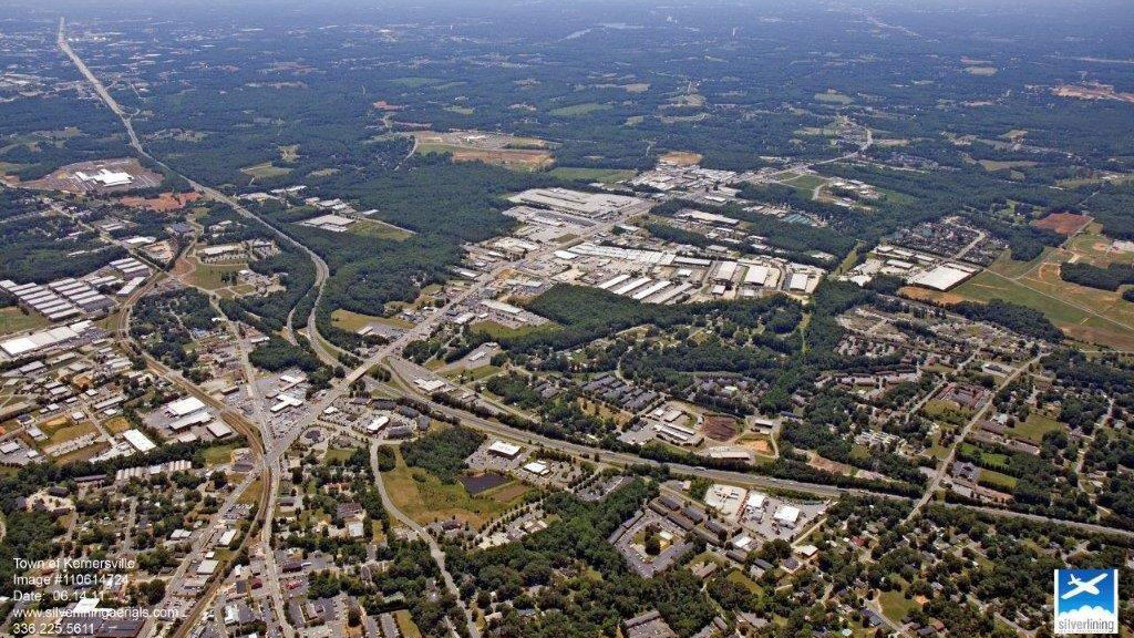
Land Use Map
Land use plan for the Town of Kernersville

NCDOT Traffic Counts
NCDOT Traffic Counts
Overlay Districts
View Kernersville's various development overlay districts.

Parks
Public Parks within the Town of Kernersville

Public Facilities
View all government facilities, including libraries, fire stations, and pubilc buildings.

Schools
View schools in and around Kernersville
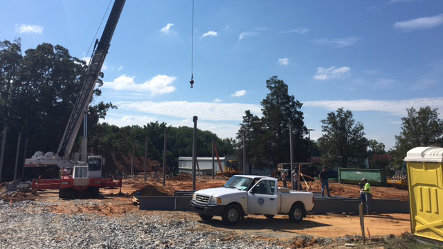
Site Selector
View available building sites and existing structures for sale within town limits

Tax Data – Forsyth
Tax information for Lots in Forsyth County
Tax Data – Guilford
Tax information for lots in Guilford County

Thoroughfare Plan
View routes of future and planned thoroughfares
Watershed Map
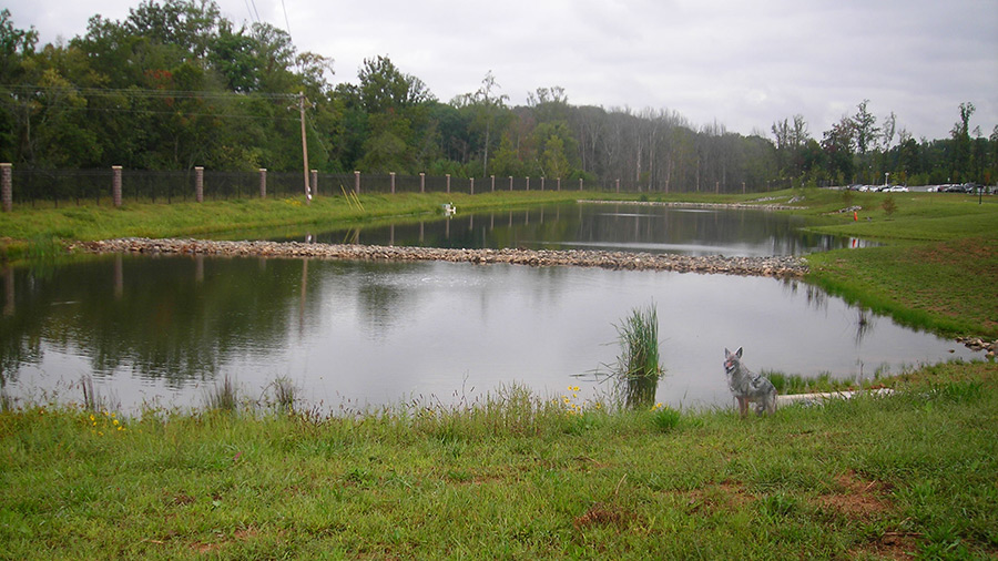
Surface water classifications for the Town of Kernersville.
Disclaimer: It is understood that the data displayed through this application is subject to constant change and that its accuracy cannot be guaranteed. The maps have been created from information proved by various government and private sources at various levels of accuracy. The data is provided to you “as is” with no warranty, representation or guaranty as to the content, sequence, accuracy, timeliness or completeness of any of the information provided herein. It is the responsibility of the user of the data to be aware of the data’s limitations and to utilize the data in an appropriate manner.
 accessibility info


